(Advice)
„It isn’t the distance that kills but the speed.” The known phrase emphasizes the importance of speed in every distance sports including the hiking as well. Walking too slow or too fast can both put you in uncomfortable situations or even danger. But there is no absolute scale for pace, it is always compared to your plans, which can be realistic or not, and can be carried out correctly or not. Let’s see some rules and examples.
The scale of paces
There are two commonly used measures for pace. One is the distance per hour that you know well from driving or cycling. The other is the time per kilometer or mile that is used typically by runners.
- Walking speed on difficult terrain is 3 km/h (2 mi/h) = 20 min/km (32 min/mi).
- The typical walking speed is 5 km/h (3 mi/h) = 12 min/km (20 min/mi).
- Fast walking and slow jogging is 8 km/h (5 mi/h) = 7.5 min/km (12 min/mi).
- The typical running speed is 12 km/h (7.5 mi/h) = 5 min/km (8 min/mi).
- The best distance runners’ speed is 20 km/h (12 mi/h) = 3 min/km (5 min/mi)
Rule of thumb
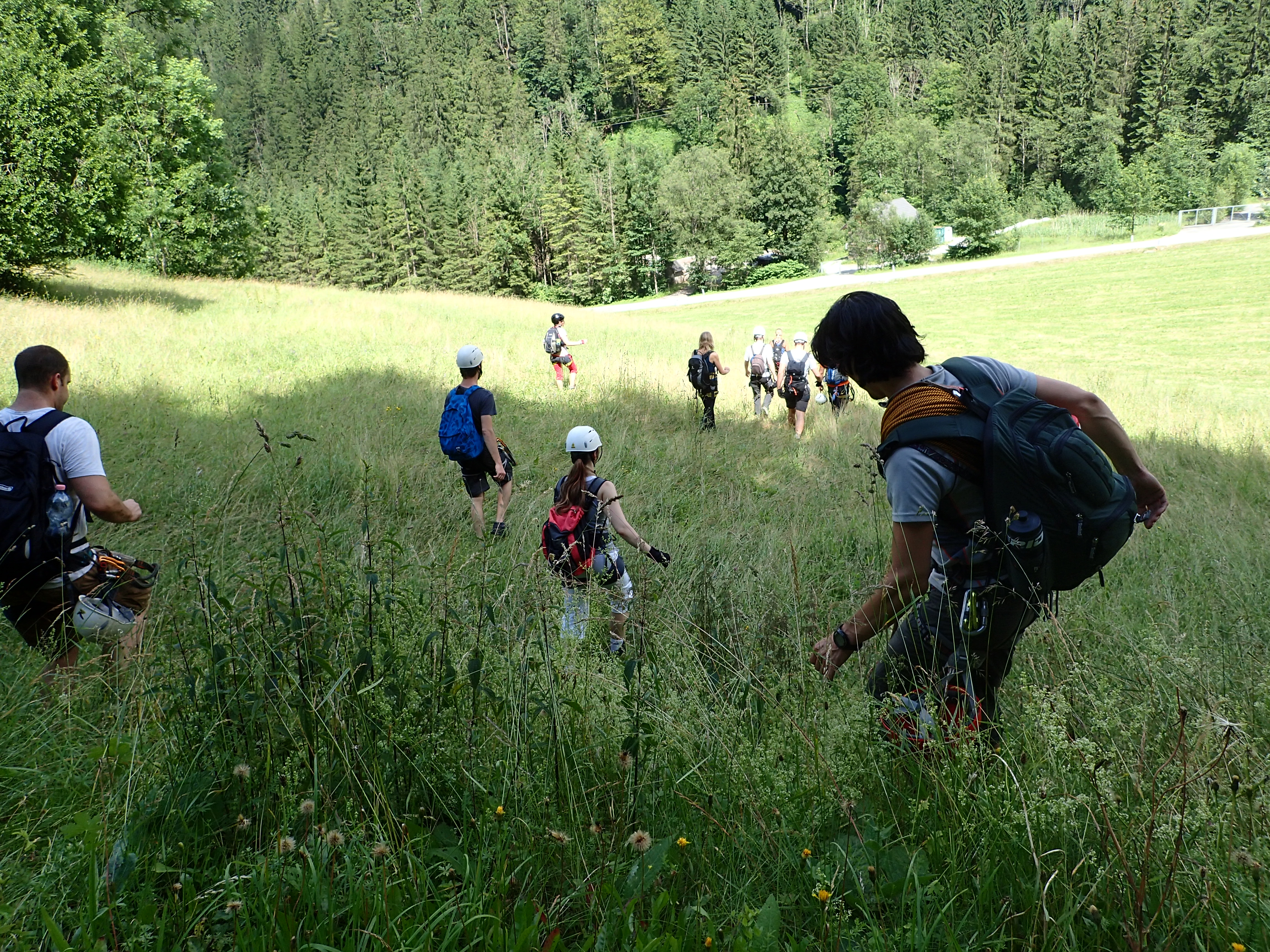
Of course there is a rule of thumb for this too, which can be used well until you know your own pace. Average hikers tend to walk with a 5 km/h (3.1 mi/h) pace on an even surface (tarmac, gravel) with a normal backpack (<15kg) and climb 600 m (2000 ft) elevation per hour. This should be corrected for the terrain: while a path on uneven or unstable terrain can slow you down to 4 km/h (2.5 mi/h), walking off the path and following piles or poles should be calculated with around 3 km/h (1.9 mi/h) and the moment you are entering the wilderness with a single direction, and you have to cross muddy, bushy or rocky terrain, your speed will vary somewhere between zero and nothing. There are more sophisticated rules like the Naismith’s rule or the Tobler’s function, but if you are planning for your own hiking, it is the best to know your own pace.
Your walking pace
It takes time to learn your own walking pace, but every hiking adventure is a new data for your function. For analyzing your speed first you will need data of your location at certain time. There are many ways to get this data:
- Use your photos, they are time-stamped and easy to locate on map.
- Use a watch during the hiking and record the time at certain points.
- Use a GPS device and set it to record a track of you move.
- (Most smart-phones are equipped with GPS too.)
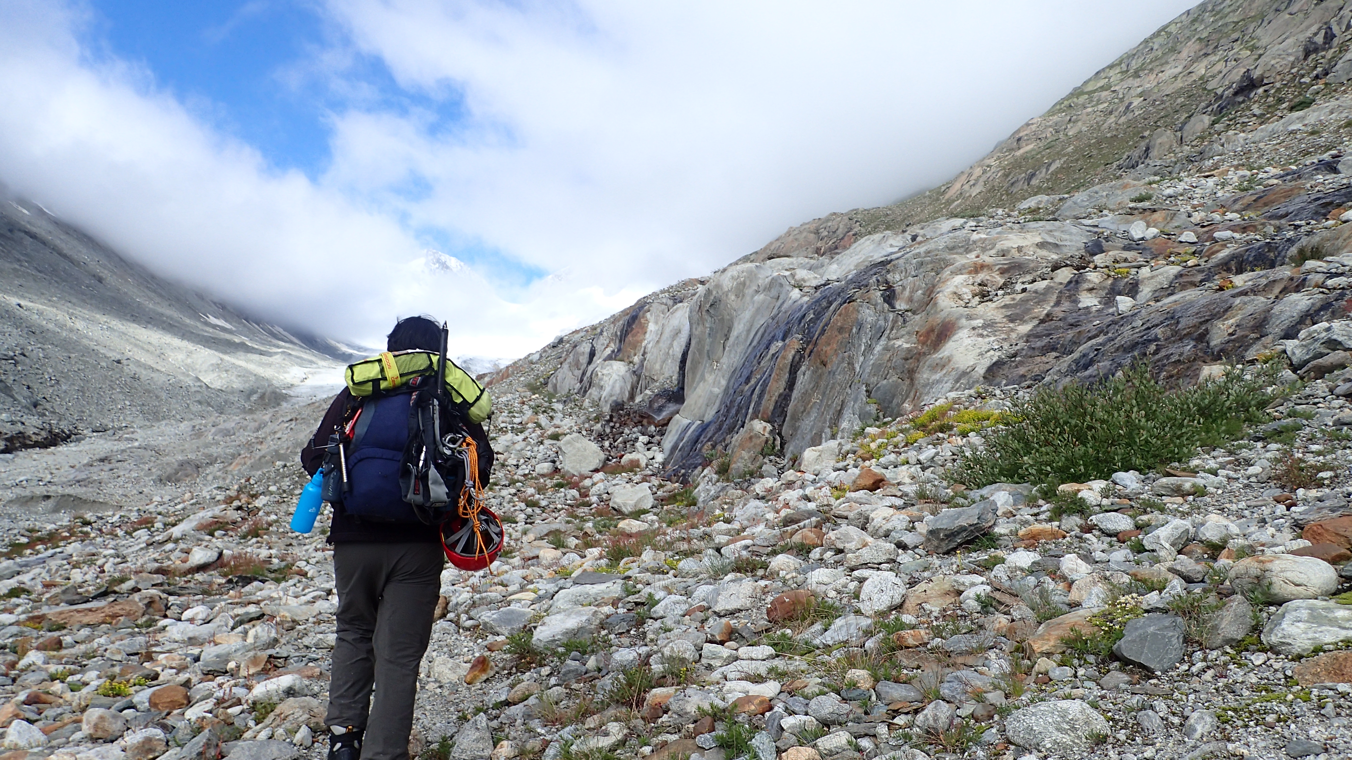
To evaluate your speed you will also need the distance between the measured points. There are many free map software available online and offline starting with Google Maps and Bing Maps both lets you measure distance on the map, you can also use MapMyRide that has many handy functions, but if you have the time to install a software too, I would recommend to use Google Earth, because it can also show you the elevation profile of your route. Either way you have to measure the distance and elevation between the recorded locations and calculate a distance per time and an elevation per time value. The data has to be binded to the circumnstances like the road type, the weight of your backpack and the weather. Soon you will have your own database that you can use for the planning of your next adventure.

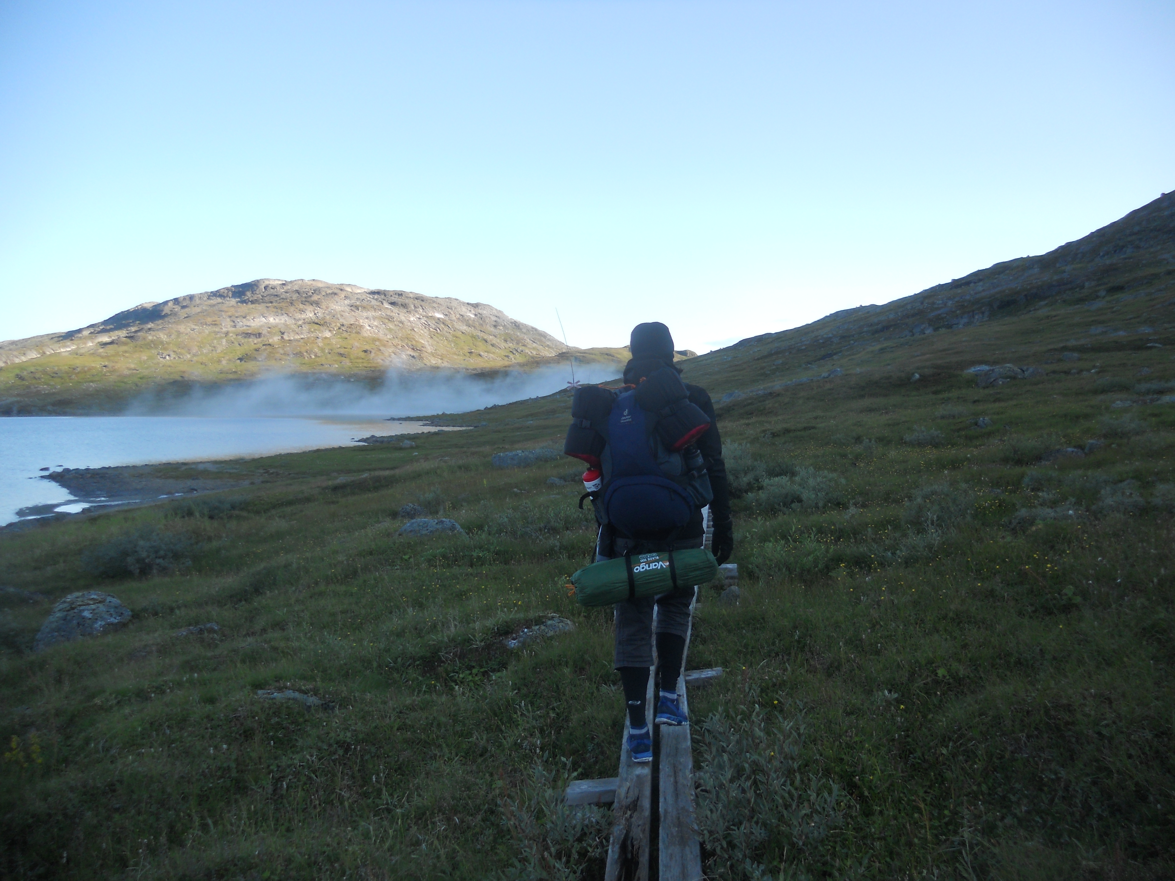
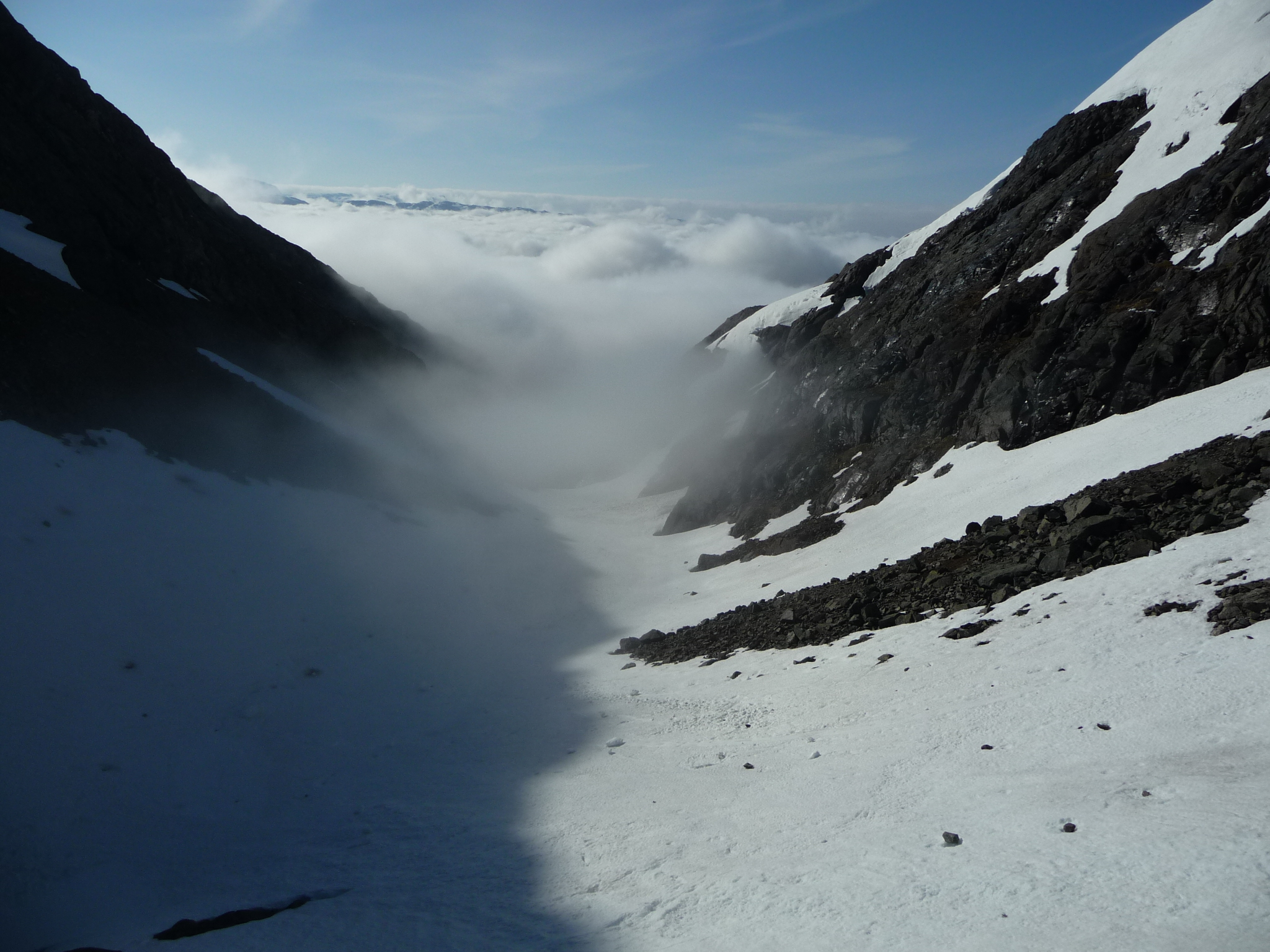
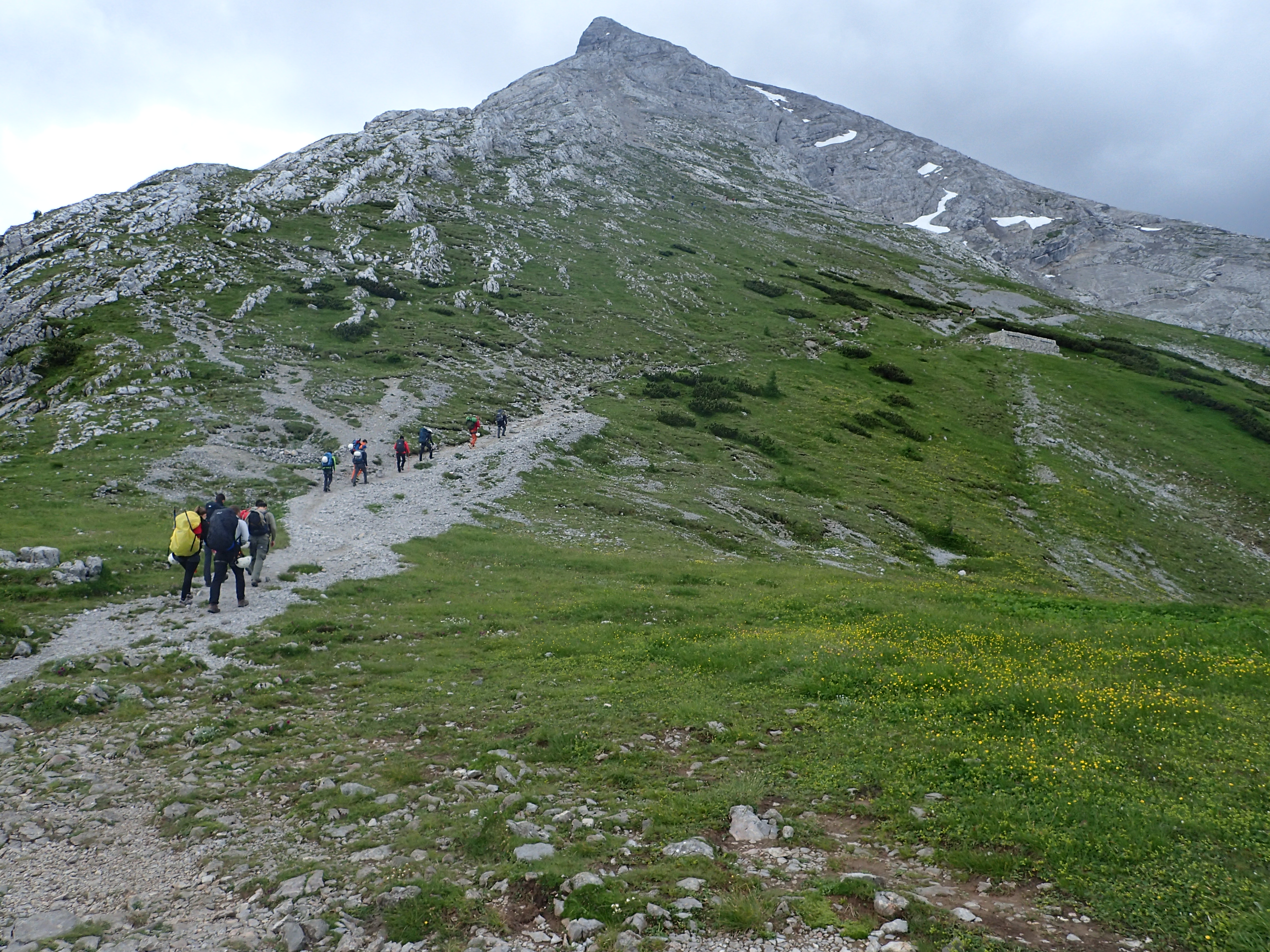
Case study 1: Kiruna, Sweden
Two years ago it was one of my first long-distance hiking tour with my girlfriend (Kata), so it afterwards it is no wonder that I misjudge our speed, but back then it was quite surprising that it almost took the double time to pass the wilderness. Fortunately I already had my good habit to have a large buffer in the program, so we just cancelled another section and reached our plan back to Stockholm. It was not the lack of planning, I spent months with the preparations, checking official websites, blogs and various maps to collect information for the planning, but the lack of experience made me using rules of thumb and the resulted 4km/h average speed was significantly overestimating that we could manage with the large backpacks on the rough terrain along the uncertain route. The variance was striking: on the track of the national park we could simply maintain the 5 km/h, but at the moment we left the frequented road and entered the wilder areas it decreased to 3 km/h, later when we entered the mountain area with multiple 1000 m (3000 ft) elevations up and down, our speed decreased further to 2 km/h, on the most difficult sections our speed was immeasurable, and the same process took place backwards as we gradually left the wilderness. Our tour in Kiruna was a reference for our planning for a very long time.